Explore · Discover · Preserve

The history around you, on one map.

Relic is a map for finding historic sites, abandoned places and local legends across the United States, and sharing what you find with other explorers.

Tell me when it launches Coming soon to iPhone
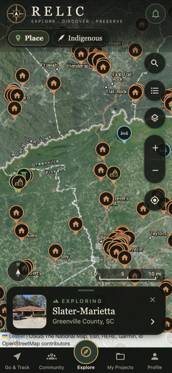
Relic's map with historic places pinned across upstate South Carolina and western North Carolina
176,000historic cemeteries
42,000historical markers
400+legends tied to real places
1884oldest survey maps you can overlay

Built for people who go and look.

The map comes first. Public records, old maps and field reports from other explorers all sit in one place.

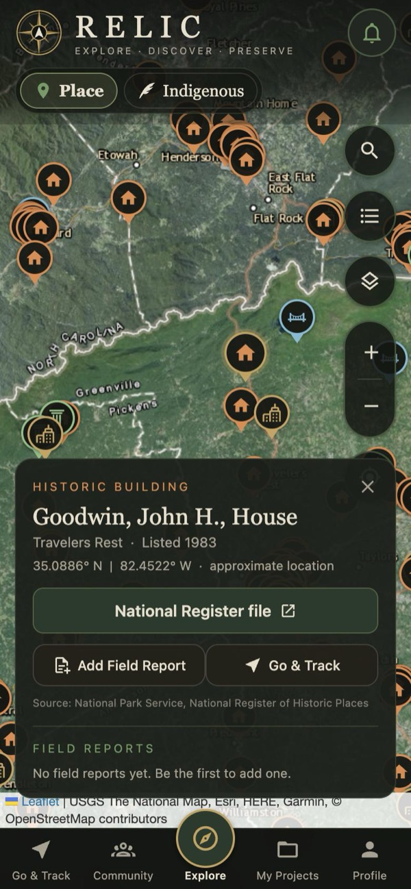
A place card for a house on the National Register of Historic Places

Every pin has a story

Tap a place to see what it is, when it was recorded and where the information comes from.

  • National Register sites, old mills, ghost towns, ruins and mines
  • A link to the original record for every place
  • Field reports and photos from people who've been there
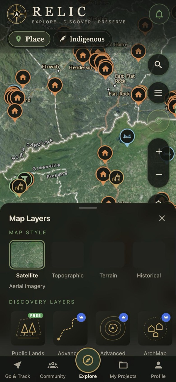
The Map Layers panel with Satellite, Topographic, Terrain and Historical styles

See the land as it was

Switch between satellite, topographic, terrain and historical maps to see what used to stand where.

  • USGS survey maps back to 1884
  • Public land shown nationwide, with who manages it
  • Cemeteries, historical markers and archaeology layers

Explore responsibly.

Many historic places are on private land or protected by law. Relic shows where things are, not permission to go there. Get permission, stay off posted property, and leave artifacts where they lie.

Be first on the map.

Relic is in testing now. Email us and we'll let you know the day it's on the App Store.

Tell me when it launches